Multi-Sensor Triangulation
Mobile Apps

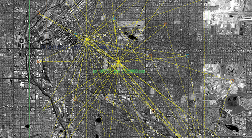
Triangulation involves a complex process of orienting and registering images to other images or to the ground to improve the rigorous sensor model. After triangulation, images have much higher accuracy.
The Multi-Sensor Triangulation module automates the triangulation process, including setup and management of image blocks, Quality Assurance (QA) and analysis, graphical displays, automatic point measurement (APM), Interactive Point Measurement (IPM), and fully weighted multi-sensor bundle adjustment. Control images are an optional input.
Module information: Multi-Sensor Triangulation
Product compatibility: SOCET GXP® and SOCET SET®
Licensing requirements: SOCET GXP GeoElement or GeoAnalysis, SOCET SET Core
Included with: SOCET GXP eXtreme Analysis
Part number: SOCET GXP (1007), SOCET SET (502-L)
Export restrictions may apply.