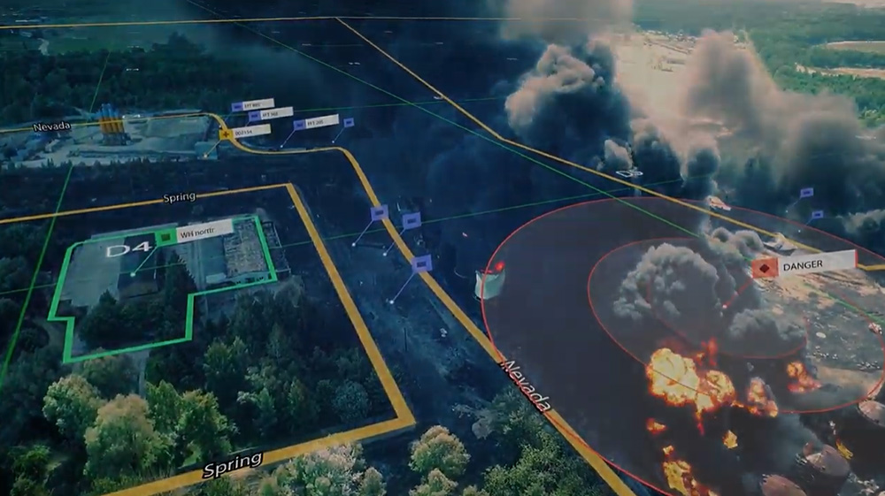
Edgybees provides cutting-edge AI/ML technology to align aerial motion video (FMV) and satellite imagery, transforming raw data into precise, actionable intelligence.
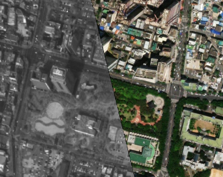
Edgybees solutions rapidly georegister imagery in seconds, improving spatial accuracy to within 1-2 meters and enabling real-time decision-making across defense, intelligence, emergency response, and disaster management operations.
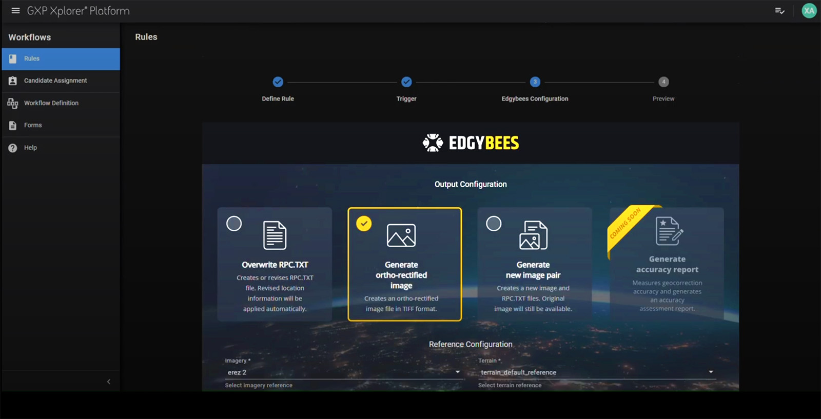
Edgybees Sky and MX are embedded directly in the GXP ecosystem, allowing seamless and automatic correction of all incoming imagery to a single ground truth. The integration of Edgybees software in the GXP ingestion workflows eliminates traditional imagery processing bottlenecks, such as manual correction, proprietary hardware, costly foundation data, and complex deployments.
Empower your analysts and geospatial professionals with Edgybees Sky and MX to unlock the full potential of harmonized visual data, from any sensor or modality, with greater speed, scale, and confidence.