Terrain Generation
Mobile Apps
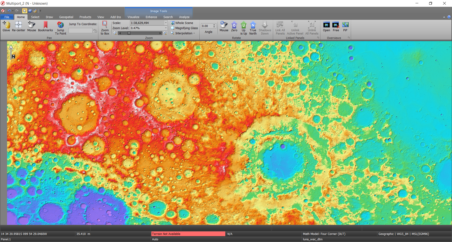
The need for a terrain generator to create highly accurate and current terrain files is critical when doing geospatial analysis. Terrain models help increase accuracy and can be used to create derivative products such as helicopter landing zones, slope maps, and line of sight analysis. The SOCET GXP® software solution has the ability to automatically generate digital terrain models from stereo imagery. The rigorous nature of SOCET GXP capabilities allows for these advanced algorithms to create precise models that reduce production and editing time and allow for the most accurate and recent 3-D representation of a scene.
The terrain generation algorithms provide the ability to create both surface models as well as bare-earth terrain files as a grid or Triangular Irregular Network (TIN). An intuitive interface provides user friendly options for creating accurate, high resolution terrain models from a wide variety of image scene content. Output formats include, but are not limited to ASCII, DTED, GeoTIFF, NITF, and High Resolution Elevation (HRE).
The SOCET GXP software solution provides three different terrain algorithms:
- Automatic Terrain Extraction (ATE)
- Next Generation Automatic Terrain Extraction (NGATE)
- Automatic Spatial Modeler (ASM)
